


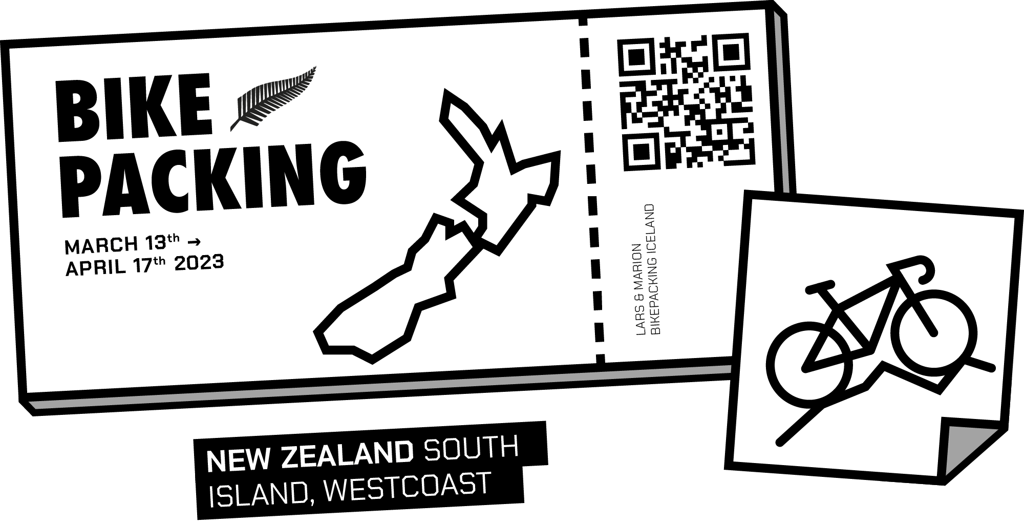

On the move again
For a long time now, we wanted to travel for a few months at a time. However, it has often been challenging to find the necessary time for a lengthier trip. With the end of my employment contract and Mari’s last study semester coming to a close in January 2023, we had our eyes set on far-distance lands on the opposite side of the globe.
But first, we would need to get there with our bikes. One of the only reasonable flight connections we were able to find after a lot of research would take us from Berlin to Sydney with an 8-hour stopover in Singapore.
After one short but enjoyable week exploring Sydney and some of its surrounding areas, we would fly to Queenston in New Zealand.

Route Planning
After deciding to explore New Zealand with the bicycles, I was tasked to devise a feasible route through the country.
As we would arrive in March, it was clear from the beginning that we had to consider the weather while planning our trip. The standard way to ride in New Zealand is to start on the North Island and head south.
However, starting in autumn, we would have ended up on the south island in April, and the temperatures would have been way too cold. So things had to be switched around. With the route direction reversed, the climate would end up being progressively warmer while heading north.
-
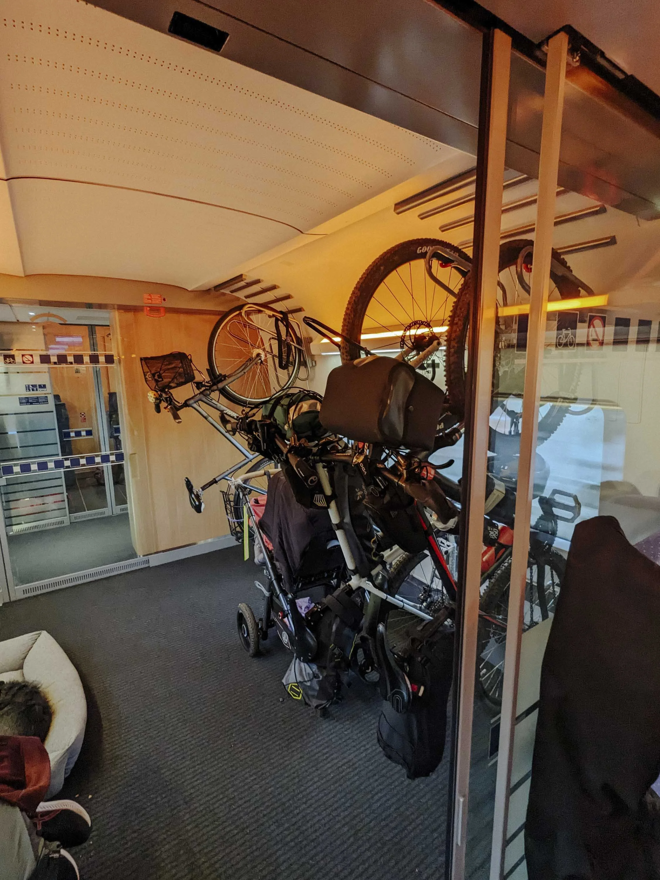
Entering New Zealand, you have to be careful with the import of your bike and camping equipment. New Zealand is very careful about the possible contamination of its ecosystem. So you have to clean all of your equipment carefully before the flight.
After scanning our bags, however, we could easily enter New Zealand. I always find smaller airports much less stressful when entering a new country. Afterwards arriving in the evening, we found a quiet corner in the airport to reassemble the bikes and pack everything properly. Close to the airport in Frankton is a campsite. It is ideal to get started with your adventure.
-
New Zealand and especially the West Coast gets a lot of rain. So you need to be prepared for some wet days on the bike. We did not have the best rain gear for cycling in wet weather like that. However, I doubt any “rain-prof” clothing would stand that kind of test. We had quite a lot of time on our hands and did not need to rush to get to the end of the route. So we just used the very wet days for a break and sometimes got ourselves a proper accommodation to dry.
-
Choosing the proper bikes for this trip is quite challenging, in my opinion. We ended up using mountain bikes. Nearly the entire route on the South Island is either well-paved or solid gravel, so a gravel bike would be the ideal choice. Even a road bike would be feasible on most of the tracks we ended up taking.
Of course, there are really good and challenging mountain bike tracks like the Old Ghost Road or the Queen Charlotte Track.
However, they are pretty extreme and more suited to a full-suspension bike and proper mountain bike skills.
After doing the track on mountain bikes, I would suggest going for gravel, touring or a road bike with a bike-packing setup. If you are interested in doing mountain bike trails, you can go ahead and rent a suitable bike for those trails in a nearby town.
-
We decided to start from Queenstown as this was one of the only airports we could reach from Australia on the South Island. The original and entire route typically starts further south in Bluff. You are able to catch a bus, and I believe also with the bike to start there instead and cycle the entire route. We opted for a more relaxed schedule, and we did not want to bother with transporting our bikes once again after struggling to get them to New Zealand in the first place.
-
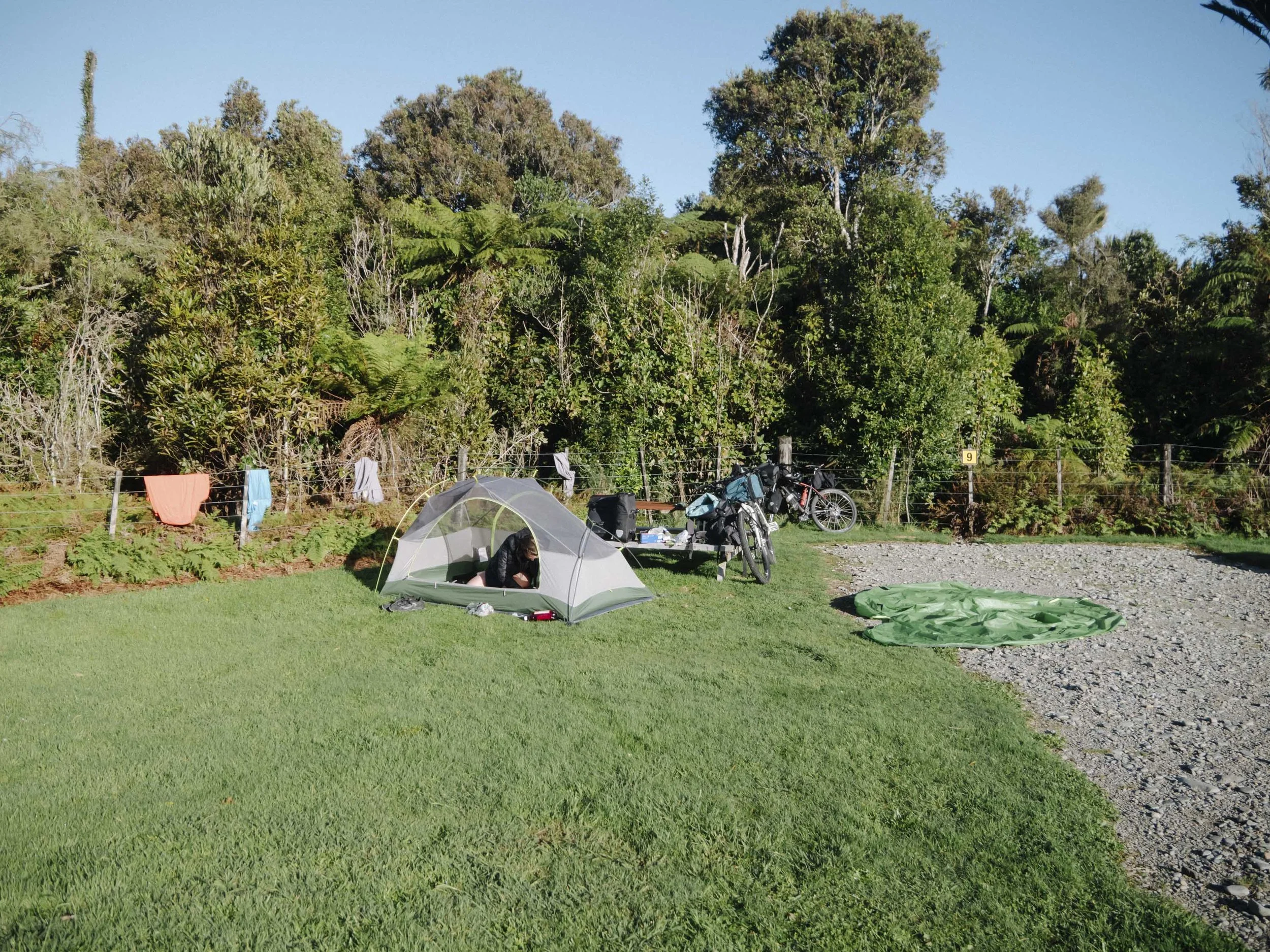
While bikepacking New Zealand, I pictured us camping in pristine nature along the route for most of the time. However, we quickly realised that wild camping was not allowed pretty much anywhere. Most of the time at feasible spots you can find signs explicitly prohibiting camping without a self-sufficient vehicle.
We only found one spot that was without these signs, right next to a big lake. Of course, you could just ignore the signs and look for more secluded spots to pitch your tent. However, one must respect the local initiatives to protect the natural plants and wildlife.
Probably, they were forced to put the rules in place by too many tourists not cleaning after themselves in the first place.We opted for campsites most of the time or sometimes dedicated freedom campsites.


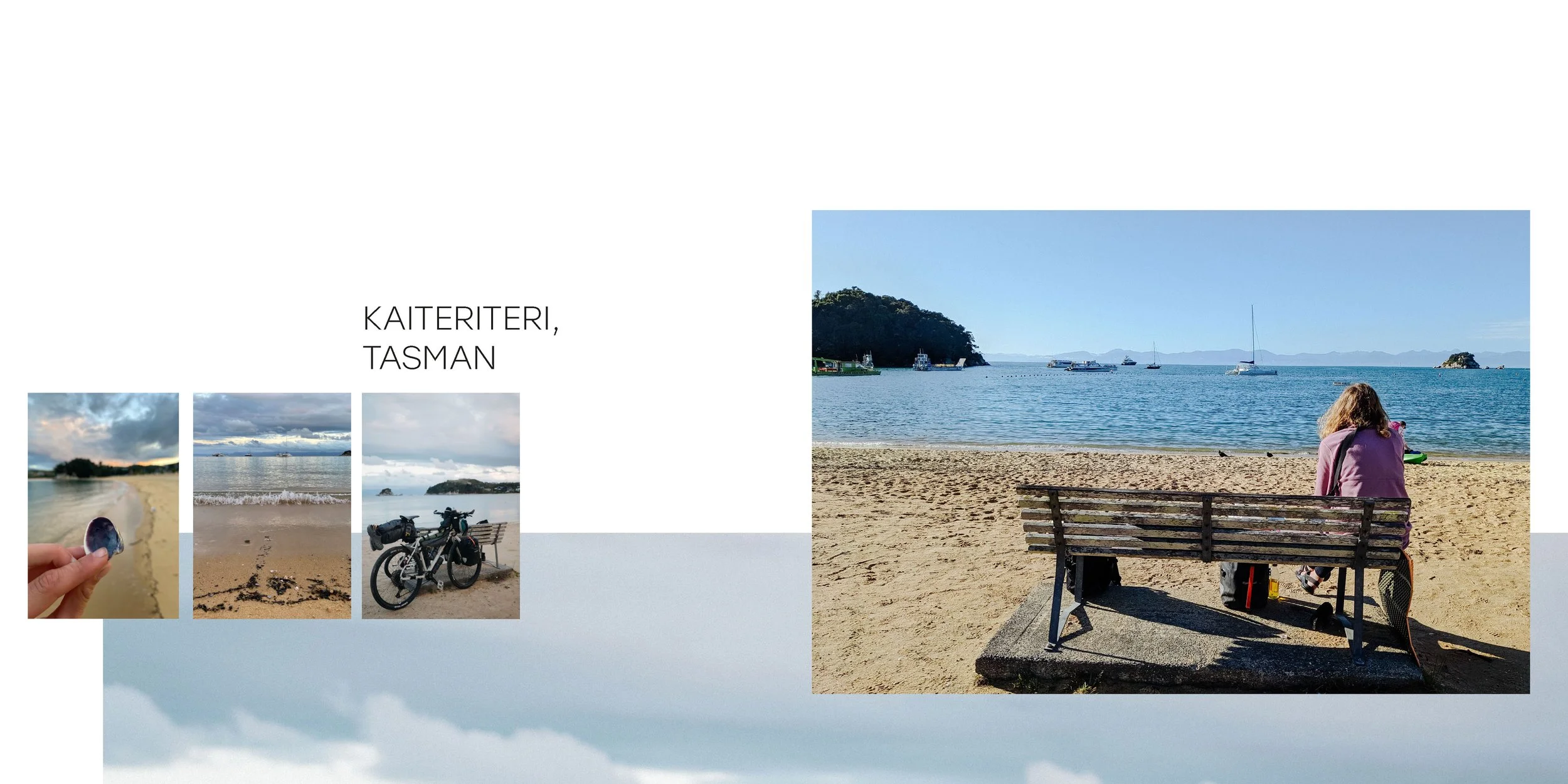
PART 1: QUEENSTOWN, NZ

Last travel & food preperations in Driftaway Queenstown

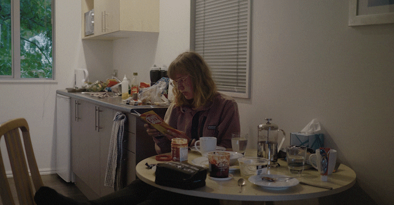
Straight after arriving in New Zealand, we both got a little bit ill and decided to stay in the fancy campsite in Frankton and prepare everything before setting off. During the first night, however, we quickly realised we didn’t have the proper equipment for 5°C temperatures. So we needed to search for a new sleeping bag and mat.
In Frankton, you can find a good selection of outdoor shops and supermarkets to stock up for your adventure. We also used Facebook Marketplace to buy our sleeping bag. We also had the opportunity to explore Queenstown and the lovely Wakatipu Lake.

Bird Park Kiwi Birdlife
It is a really well kept animal park, where you can see Kiwis. They are breeding birds and especially Kiwis with the goal to release them into the wild.


PART 2: CENTRAL OTAGO, NZ
Arrow Town → Wānaka 52.5km ↗ 750m ↘ 980m
After the first two days and a night in Arrowtown, we made it to the Crown Range pass on day two. It is the highest country road in New Zealand (SH 89) that winds its way up into a surreal landscape up to an altitude of 1,100m. It offers breathtaking views of the lakes far below.
Getting to the top, however, was quite a challenge. We still felt ill and packed way too much food on the bikes.


Wanaka → Lake Hāwea 40km ↗ 440m ↘ 350m
Next we discovered some awesome tracks heading north from Wānaka. We sill took our time to get back in the rythm of bikepacking and especially after we ran into some bad weather and headwinds we decided to call it quits after finding the prefect wild camping spot next to a lake.


Bottom Bay: Possible wild camping (maybe)
Route to Makarora 33.4km ↗ 330m ↘ 380m
After packing our bags and starting into next part on the journey we realised quickly that the weather would be quite challenging for the rest of the day. Not only a lot of headwind, but also a lot of rain hit us after just a few kilometers. After a while of riding in the rain and realizing, that the old rain gear we had with us was not up to the task we searced for a place to dry.

Haast Pass 93.2km ↗ 960m ↘ 1230m
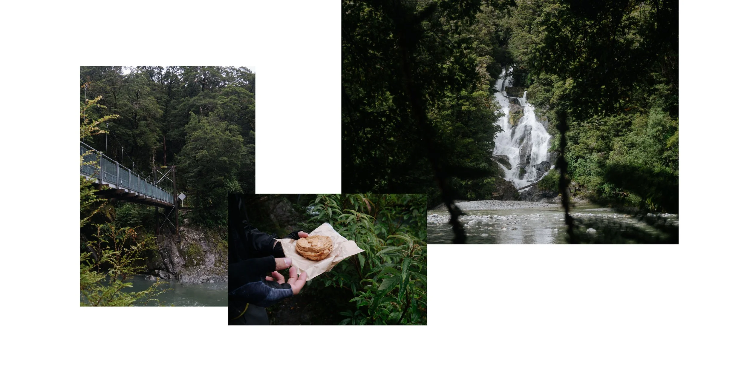
The Haast Pass was a real highlight of the tour especially the downhill part was stunning. Along the rout we also stopped occaisionally for a waterfall or other point of interest along the route.


PART 3: WESTCOAST, NZ
Karangarua River 81.5 km ↗ 770m ↘ 780m
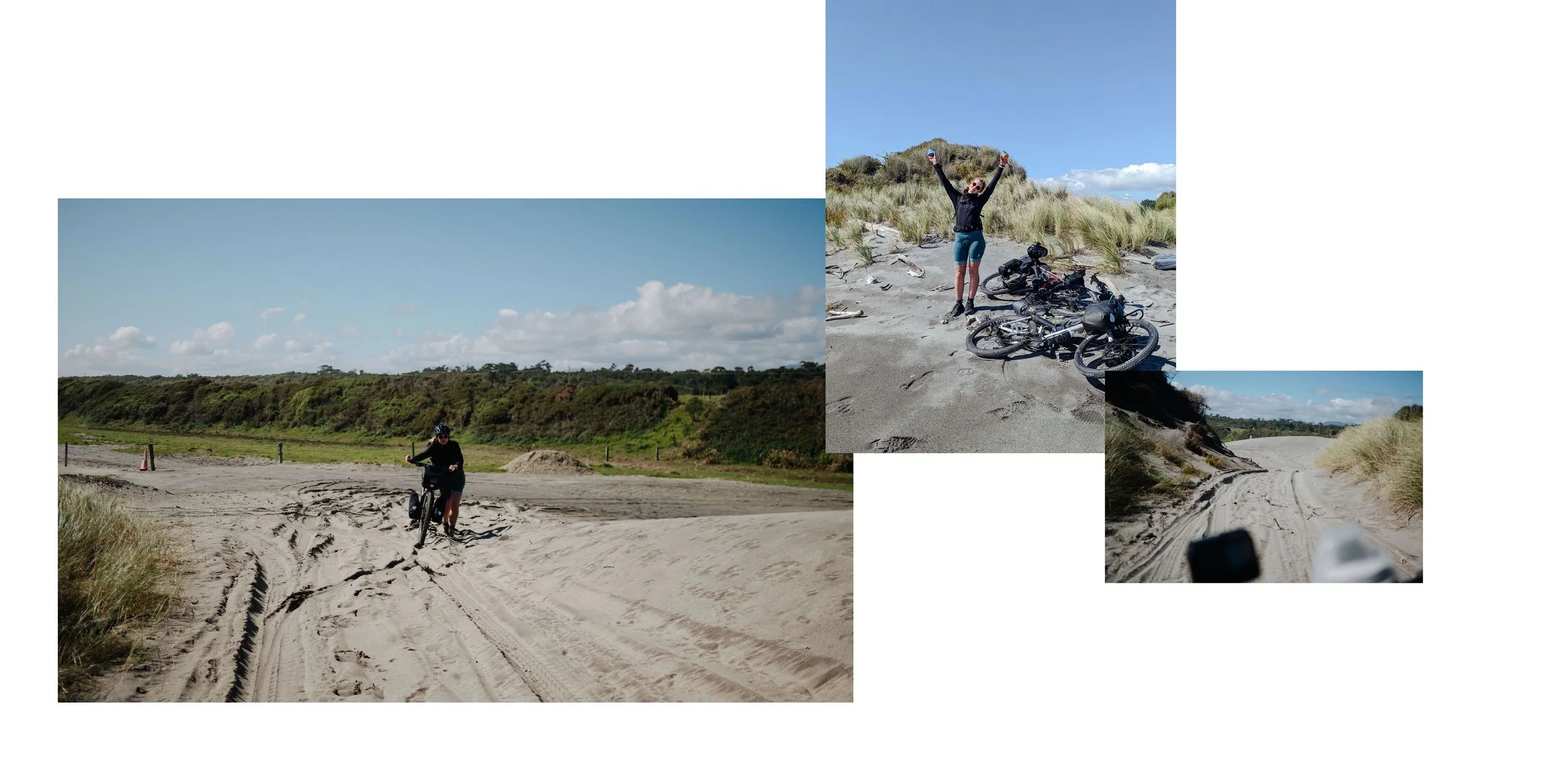
Heading north along the West-Coast we sunbelt upon some stunning beaches empty roads. Most of the time we where only passedby campervans and fellow travelers, that kept their distance and did not bother us at all. While stopping at the first stunning beach lookout Ships Creek we relaxed for a while and explored the area for a bit. However just after setting of again we realised, that a lot of sandflies and mosquitos had attached us the entire time.
So we would definitely needed to stick up on sandfly repellent in the next town.


FOX & FRANZ JOSEPH GLACIER

Fox Glacier 58km ↗ 1100m ↘ 970m
Next up we reached the glaciers of the South Island. The climb to the viewing space was really challenging due to the high incline. Afterwards we bought ourselves a proper lunch for a change and headed onwards to Franz Joseph.


Whataroa 58km ↗ 1100m ↘ 970m
As we wanted to shelter for the rest of the evening and the next morning we went looking for a nice place to pitch our tent. We ended up staying near a proper “ghost hostel” after meeting the owner. We where even offered a place to stay inside, but due to the strange atmosphere we opted for our well acquainted tent and sleeping bags.
In the town we found a small café and shop to eat some fries.


Hari Hari 58km ↗ 1100m ↘ 970m

Hokitika via West Coast Wilderness Trail 75km ↗ 400m ↘ 450m


Kumara via West Coast Wilderness Trail 66km ↗ 680m ↘ 600m
On the last stretch of the WCW Trail we rode some lovely trails in good weather enjoying the native bush. We ended our day after a bit of searching at the Greenstone Retreat and had a lovely time talking to fellow travelers from all over the world. I would really recommend staying there as it is also possible to pitch your tent.


Greymouth 60km ↗ 490m ↘ 550m


PANCAKE ROCKS

Westport 67km ↗ 860m ↘ 880m
Just for the Pancake Rocks, we decided to take a different route than usual and head further north towards Westport. We needed to ride a few kilometers from the previous night’s camp to reach it. So we ended up eating breakfast right on the rocks with a beautiful view.


Westport 66km ↗ 680m ↘ 600m
On the last stretch of the WCW Trail, we rode some lovely trails in good weather, enjoying the native bush. We ended our day after a bit of searching at the Greenstone Retreat and had a lovely time talking to fellow travellers from all over the world. I would recommend staying there as it is also possible to pitch your tent.
Buller Gorge Reserve 85km ↗ 1330m ↘ 1190m
From Westport we headed back inland over the mountains from the West Coast into the Tasman region following the Buller River. We used the good weather window to ride a long stretch into Muchison.


RABBIT ISLAND


Mapua Bicycle Ferry

Ritchmond via Greate Taste Trail
PART 4: TASMAN BAY, NZ
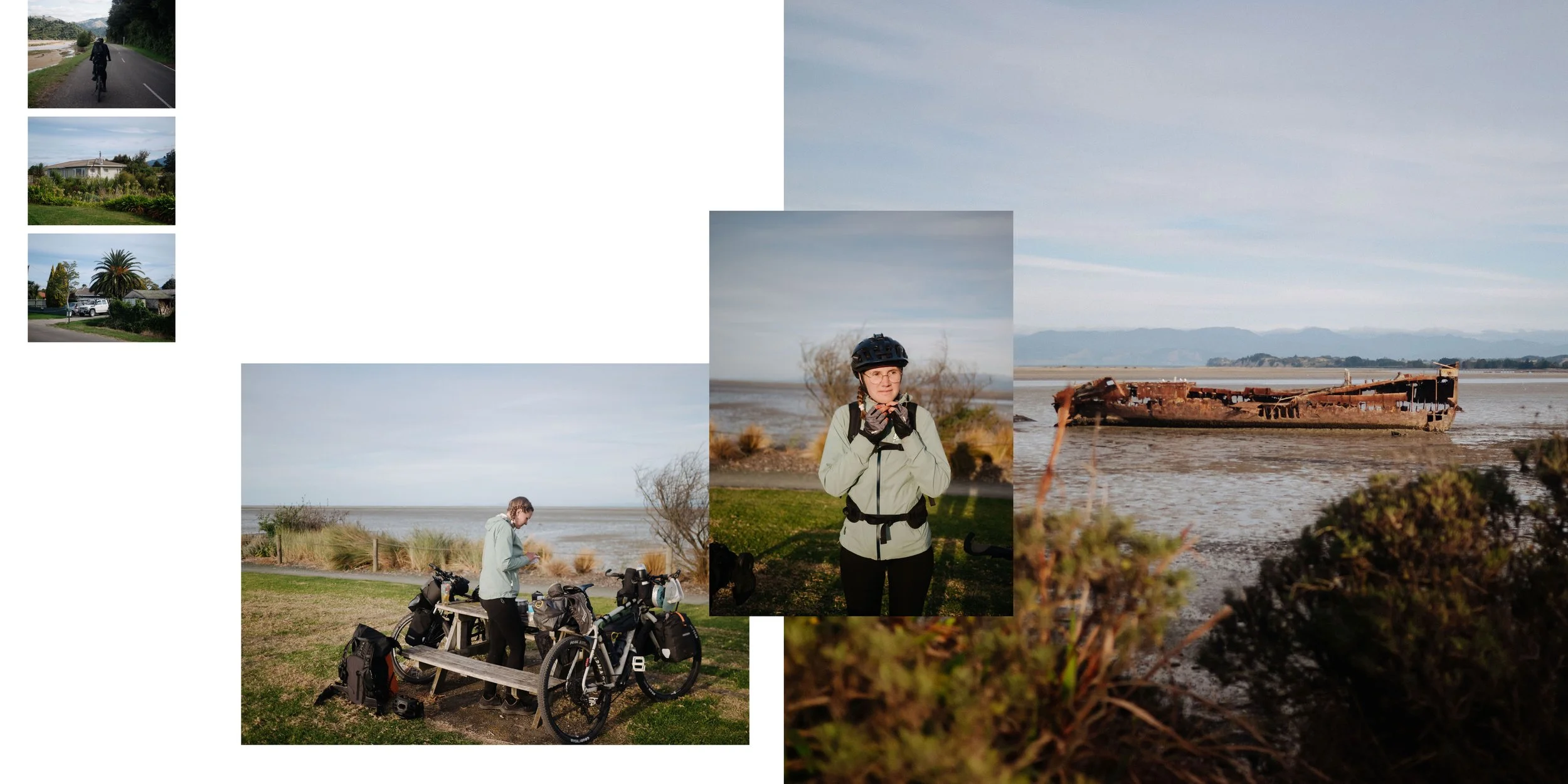
Motueka 58km ↗ 1100m ↘ 970m
After circeling back from Able Tasman National Park along the coast we reached Motueka in the evening, following the Great Taste Trail. We once again videt several supermarkets to stock up on supplies and rewarded our effort with a good old Mc Sunday before watching the sunset at the shipwreck.


Nelson 58km ↗ 1100m ↘ 970m
After finishing the Great Taste Trail in Nelson we decided to take an accommodation for two night, regardless of the quite high price. Watching the weather forecast we noticed, that a storm warning was forecast for the Bay of Tasman so we had no other choice but to hunker down and relax and watch TV for a while.


PART 5: Marlborough, NZ
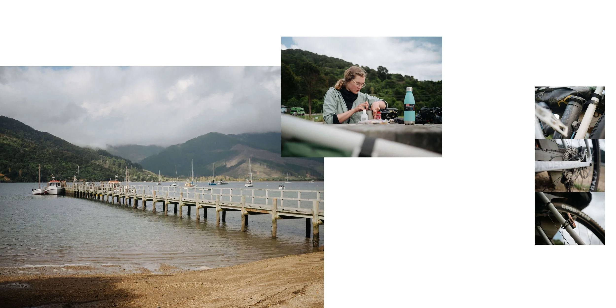
Rai Valley 62.9 ↗ 1590m ↘ 1530m
The next day, we left Nelson in the best weather conditions and would tackle one of the hardest routes of the entire trip, the Maungatapu Track. However, after many detours and climbing, when reaching the Maitai Dam, we saw the upcoming track from a distance and realized there would be a thunder storm soon. So we decided to look for a detour, avoiding the most challenging part of the climb. Some ranger suggested doing just that and showed us the way out of the valley via a logging track.


Push to reach Ray Valley in the rain


Rai Valley is a rural settlement in Marlborough, NZ


Picton 66.1 ↗ 770m ↘ 810m


Queen Charlotte & Kenepuru Sound Queen Charlotte Track
Day 1: 29.2km ↗ 780m ↘ 740m
Day 2: 37.9km ↗ 710m ↘ 820m
Day 3: 27.1km ↗ 460m ↘ 460m
We had a lot of trouble booking our ferry in advance due to many storms and a broken ferry. Many travelers could not cross between the two islands with their car at all and needed to wait for a few days or weeks sometimes. On the other hand, we just needed to book a few days in advance as we were traveling by bike.
As we planned some buffer days in case something went wrong, we had time to spare in Picton. The Queen Charlotte Track was the apparent challenge to tackle. We searched for a boat company (Beachcomber Cruises) to take us to Ship Cove, the first place of prolonged contact between Māori and Europeans.
On the previous day, we had quite a bit of rain, which left the route quite muddy. All the wet ground, in combination with the big boulders on the first part of the track, left us struggling to stay on. The bike and keep riding. We ended up pushing for quite a while. We stayed on the packed gravel road along the Kenepuru Sound for the following two days and made better progress. Sadly, the weather was quite cloudy so we could not enjoy the beautiful beaches properly.


PART 6: CROSSING THE COOK STRAIGHT


Picton Port


PART 7: TRIP REFLECTIONS
Get in touch.
It all begins with an email. If you would like to discuss our adventure, your upcoming plans, or have questions about bicycle touring in NZ, just write to us, and we will respond as soon as possible.